Notice
Recent Posts
Recent Comments
Link
| 일 | 월 | 화 | 수 | 목 | 금 | 토 |
|---|---|---|---|---|---|---|
| 1 | 2 | |||||
| 3 | 4 | 5 | 6 | 7 | 8 | 9 |
| 10 | 11 | 12 | 13 | 14 | 15 | 16 |
| 17 | 18 | 19 | 20 | 21 | 22 | 23 |
| 24 | 25 | 26 | 27 | 28 | 29 | 30 |
| 31 |
Tags
- Microsoft
- kepler.gl
- segmentation
- geostory
- mapillary
- block maps
- building mask
- postgis
- DeepMap
- deep learning
- 스트리스 #stryx
- 네이버
- Python
- unity
- hd maps
- lidar
- 고정밀지도
- Lyft
- geopandas
- Google Maps
- pyqgis
- autonomous driving
- 정밀도로지도
- Machine learning
- 정밀지도
- Open Drone Map
- Here
- HDMaps
- m&nsoft
- live_drone_map
Archives
- Today
- Total
GIS&IT Story
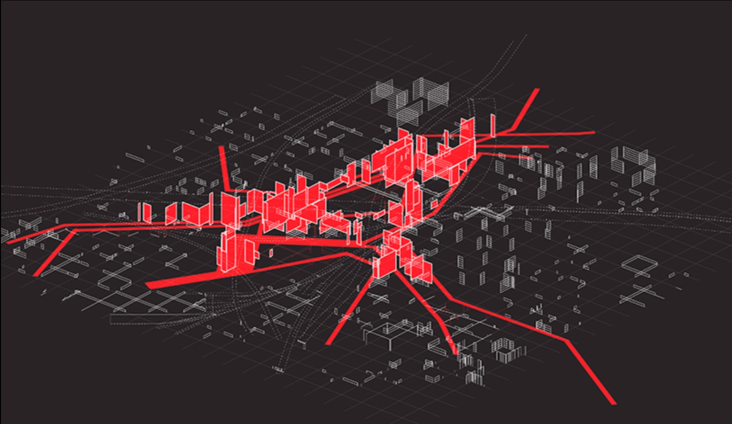
Deep Learning for Semantic Segmentation of Aerial Imagery 본문
https://www.azavea.com/blog/2017/05/30/deep-learning-on-aerial-imagery/
'Scrap' 카테고리의 다른 글
| GeoSpatial feature segmentation from Satellite Imagery using Deep Learning (0) | 2018.11.22 |
|---|---|
| Solving SpaceNet Road Detection Challenge With Deep Learning (0) | 2018.11.22 |
| Instance Segmentation with Mask R-CNN and TensorFlow (0) | 2018.11.22 |
| Deep learning for satellite imagery via image segmentation (0) | 2018.11.22 |
| 3D iconic buildings come to Maps SDK for Unity (0) | 2018.11.20 |